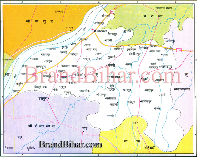
Map of Arwal

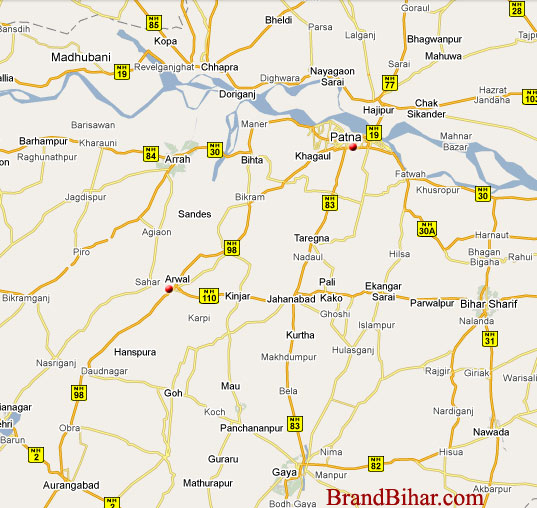
Arwal Arwal district was earlier a part of the Jehanabad district and it came into existence in September 2001. This is the thirty-eight District of Bihar. Arwal is situated 60 km south of Patna. The nearest airport is at Patna from where regular flights are available to all important towns and cities across the country. The nearest railway station is located at Jehanabad. By road, Arwal is efficiently linked with Jehanabad, Patna and Bhojpur River in Arwal District Punpun, Sone Total population of Arwal District 587,229 STD code of Arwal District 06337
Click on the Map of Arwal to see the largeView of Arwal Map.
Pantit - The leg print of Lord Vishnu is situated at Pantit. At Pantit Lord Vishnu had put his leg in His Vamna Avtar. Devkund Sherpur Banshi
|